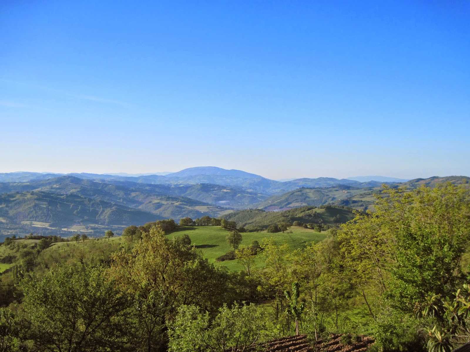
The trails often overlap, generally are well-marked, sometimes are not, and weave in and out of the countryside enough that one certainly experiences paths Francesco might have chosen. And it is all rugged, beautiful and inspiring.
A very kind person gave me an early morning ride from Assisi to Gubbio, where I began a walk back to Assisi at the legendary spot where Francesco tamed the wolf of Gubbio, the small Chiesa di Vittorino.
Surprisingly, at 5:30 a.m. the church was open.
The early going was a straight and level country road out of town, a chance to leave behind a few of those kilometers. This was the path ahead, and the hamlet of Ponte d'Assi.
Finally, the climbing began, along with the good views back.
The higher the climb. the better the views. Here's one of the last looks back to Gubbio.
Interestingly, not long after Gubbio disappeared from sight, Mount Subasio appeared in the distance, although Assisi wouldn't be visible for many hours.
The trails include everything from paved roads, to gravel roads, to dirt roads, to maintained paths to challenging combinations of rocks, mud and water. Fortunately, most sections were quite good for walking.
Far from the nearest town, deep in the woods, is the small chapel of the Madonna delle Ripe.
It was gated closed, but the interior could be seen.
At about 17 kilometers is the hermitage of San Pietro in Vigneto, an imposing, enclosed structure with a small sign saying "No Visitors".
However, by the gate is posted a daily schedule for its occupants.
Things went smoothly for most of the hike. Where two or more trails converged, it usually wasn't difficult to find the way.
However, at about 20 kilometers there was a spot where the only marker in sight was a green arrow painted on a rock on the ground. In time it became clear that I had missed a turn for the red/white trail, and was now on a less traveled path. Eventually, there was a sign pointing the way forward, but that led to a long and wide stretch of mud, bound on both sides by dense brush. The mud worsened where streamlets flowed through. From the surrounding hills, the sun and the water flow, it seemed this was the right direction, south, traveling parallel to the Chiascio River. However, the mud went on and on. Finally, there was a stretch so deep that trying to pull a foot out resulted in a fall to my knee. In the spirit of Saint Frances, undoubtedly this was Fratello Fango (Brother Mud) reminding me to fall to my knee in thankfulness for a beautiful day and a safe hike. Soon after, the trail improved and led to dryer ground.
(While people may debate the exact routes Francesco walked, I think it probable that he did not walk the Chiascio mud flats during the Spring, else instead of being Francesco d'Assisi he might have been Francesco del Fango.)
A rising trail confirmed the Chiascio was close by.
Then the river became more beautiful, viewed from afar.
After about 7 kilometers of uncertain wandering, the main trails came back in view. From there, it was uphill to the Chapel of Sambuco.
After a long stretch of woods, the trail opened up more wonderful vistas, like this one looking back over many miles walked from those distant hills.
The trail was leading closer to Valfabbrica, the only town of note along the route. It passed by the Chiesa di San Benedetto.
No keypad entry here.
Despite having not rained for a couple of days, the trail was still wet in numerous places. Any potential hikers would be wise to not tackle these trails during or shortly after heavy rains.
Soon Valfabbrica was in sight. Entering town meant crossing over the Chiascio River.
A short walk through town.
Then, on to the last segment of the hike, through a cute little hamlet named Il Pioppo, that ends almost as soon as it begins.
Finally, after another steep, muddy, trail climb, Assisi came into distant view.
The last few miles were mostly a pleasant downhill stroll through forests and farms, until reaching the road up to Assisi. The road offered good looks back at the last stretch.
And then, entering through Assisi's Porta San Giacomo.
It was about a twelve hour walk, usually at a brisk pace (considerably slower in muddy sections), stopping briefly to visit sites along the way. Often pilgrims take two or more days, staying overnight in Valfabbrica, and there's no shortage of exploring to do with more time. Some additional advice to those considering a hike: the various trail markers are usually dependable, but some are missing or worn out and some list conflicting distances. What you can be sure of is that there are two towns called Gubbio and Assisi, with a place in between that would be hard to miss called Valfabbrica. Beyond that, be prepared for an adventure. As you wander through the beautiful Umbrian forests, so peaceful and inspiring, it's easy to imagine a young Francesco coming along from the other direction, but for a brief difference of eight hundred years.
Ciao.


